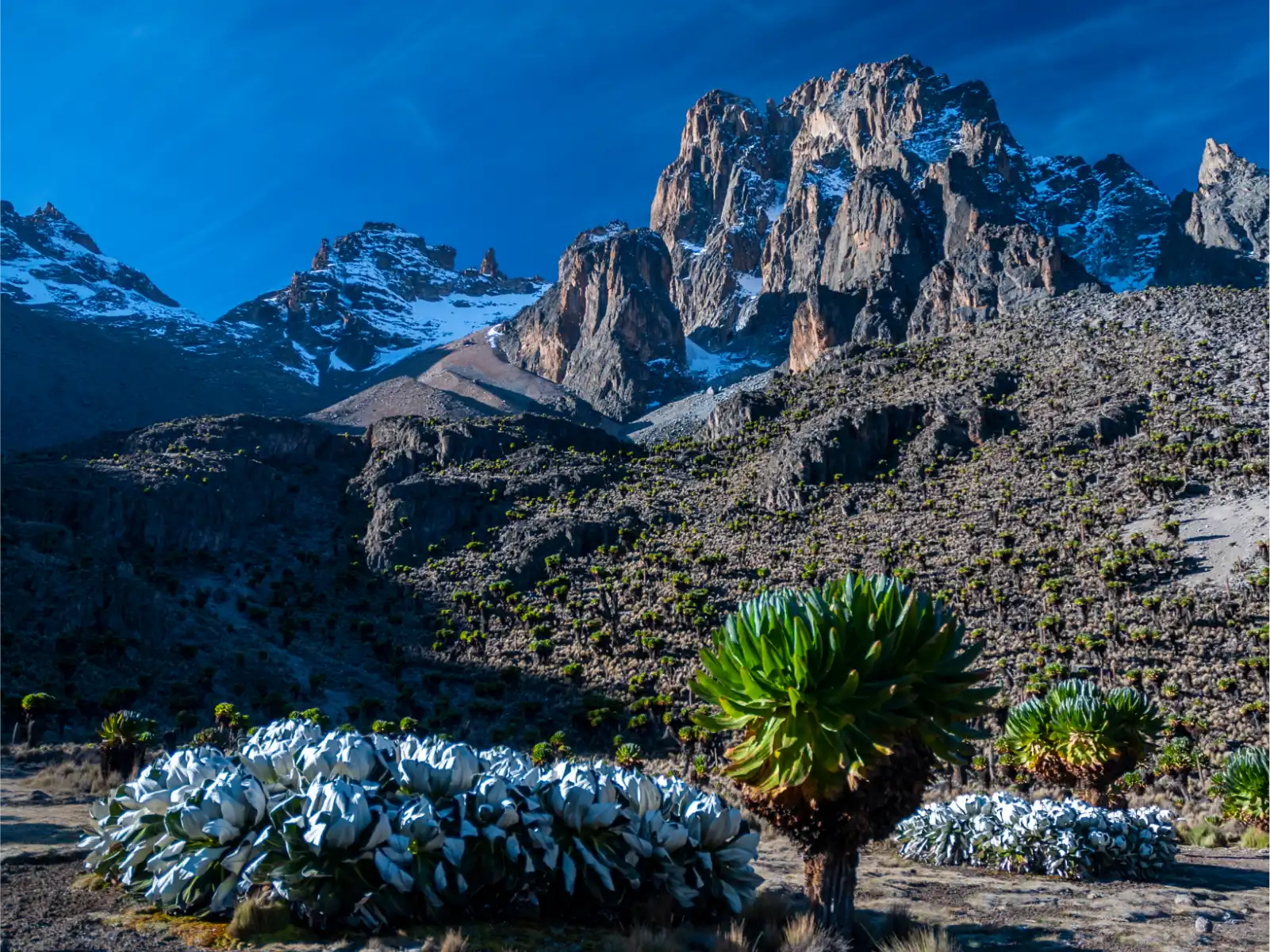
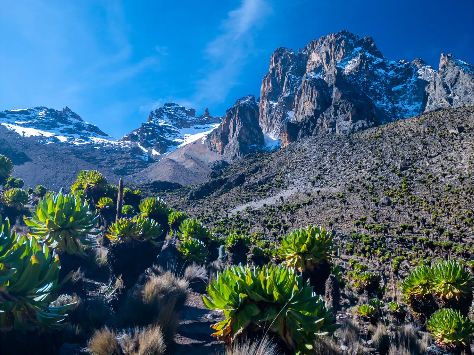
The Chogoria Route Mount Kenya is the most scenic approach to Point Lenana (4,985 m) on
Africa’s second-highest peak. Approaching from the mountain’s eastern flank via Chogoria town
in Tharaka-Nithi County, this 4-to-6-day route passes glacial lakes, a 200-metre sheer rock
amphitheatre, and some of the mountain’s richest wildlife zones. It is universally regarded by
guides and trekkers as the route with the most dramatic and varied landscapes on Mount Kenya.
ROUTE OVERVIEW
The Chogoria Route starts at Chogoria Gate (approx. 2,000 m) on the eastern slopes, in
Tharaka-Nithi County. A 4×4 vehicle is mandatory for the forest track to the road head at the
Meru Bandas (3,000 m) — the track is too rough for standard vehicles. Most itineraries begin
hiking from the Bandas.
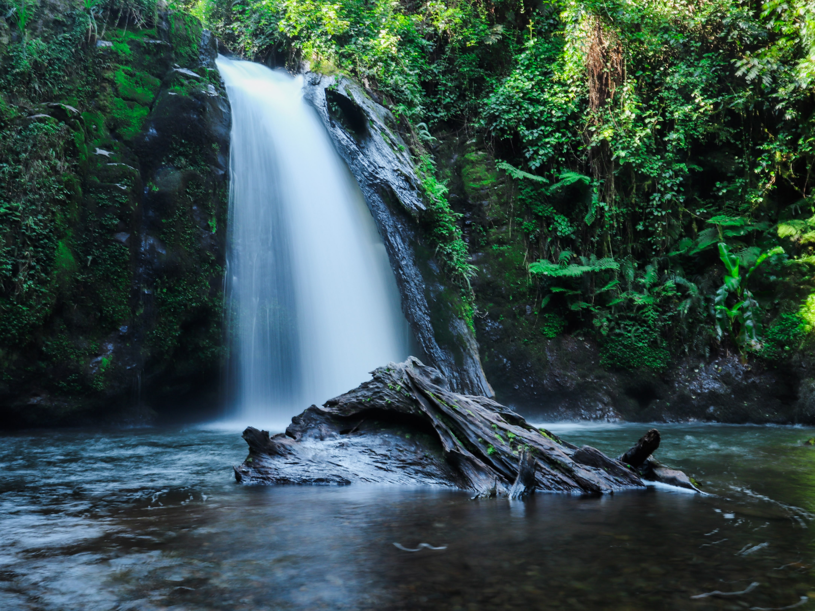
From the Meru Bandas, the trail ascends through dense Afromontane forest, passing the Nithi
Falls and fisheries station before reaching the Road Head Camp (3,300 m). The next camp is
Lake Ellis (3,650 m), a tranquil alpine lake set in the Hinde Valley, reached via Mugi Hill.
Wildlife — buffalo, elephant, zebra, and colobus — is regularly seen in the forest and lower
moorland zones.
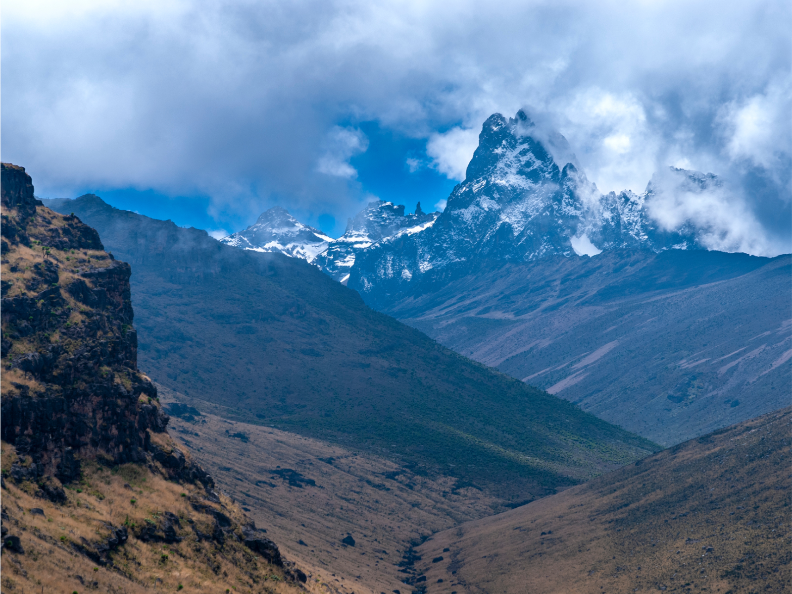
Day three moves from Lake Ellis toward Mintos Hut (4,200 m) along a ridge with aerial views
over the Gorges Valley. The Temple becomes visible in the afternoon — a 150-metre cliff face
surrounding Lake Michaelson. The descent to Lake Michaelson campsite is optional but highly
recommended for those with time.
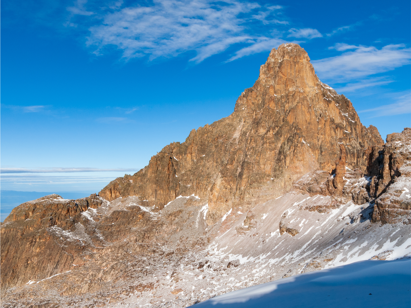
Summit night begins between 1–3 AM from Mintos Hut. The ascent to Point Lenana (4,985 m)
follows a steep rocky path via the Simba Col. On a clear day, Kilimanjaro is visible from the
summit. Descent is most commonly via the Sirimon or Naro Moru routes, completing the
cross-mountain traverse in 5–6 days total.
ROUTE HIGHLIGHTS
- Pass through Lake Ellis (3,650 m) and Lake Michaelson (4,100 m) — the two most celebrated alpine lakes on Mount Kenya
- View the Temple: a 200-metre vertical rock amphitheatre enclosing Lake Michaelson — found on no other route
- Gorges Valley: a deep glacial corridor with sheer rock walls, unique on the entire mountain
- Nithi Falls — a multi-tiered waterfall in the forest section, a classic photo stop on the ascent
- Giant's Billiard Table — a flat volcanic rock formation with panoramic views of the northern moorland
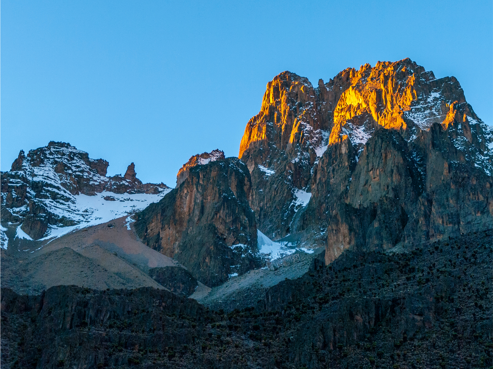
- Eastern light conditions produce exceptional photography from first light onward throughout the route
- Combine with Sirimon or Naro Moru descent for the most complete Mount Kenya traverse available